A pre-ride of the Hexenkopf Hill 200K was conducted on a beautiful Spring Day, Saturday 30 April, by Jeff Lippincott and Chris Nadovich. Based on this pre-ride the RWGPS route was updated 2022-05-1 17:44:35 EDT and the cue sheet is now version 4. Route information and registration are on the event web page. Course notes are below.
The Hexenkopf route is a remix of the old YARRR route, that moves the rectangular course southward placing the start/finish at Flint Hill. Because of the southern shift, the route passes beyond Pottstown to the Wawa control near Harmonyville shared with the 400K route. Extra route slack from the shift South also allows a visit to historic Lock 60 in Mont Clare.
The elevation profile of the course is U shaped, with the highest elevation at the start/finish. There are certainly a bunch of rollers in-between, and some legit climbs, most notably the namesake hexed Hill, but as PA Rando brevets go, I found it to be of low middle difficulty.
There are several closed bridges on this route, including the Headquarters Rd bridge which now has steel plates covering the holes in the pavement. All closed bridges were easily passable by bicycle at the time of the pre-ride. In a novel variation, this route does not transit the defunct Keim St bridge, but rather uses the main Hanover St bridge out of Potstown to cross the Schuylkill.
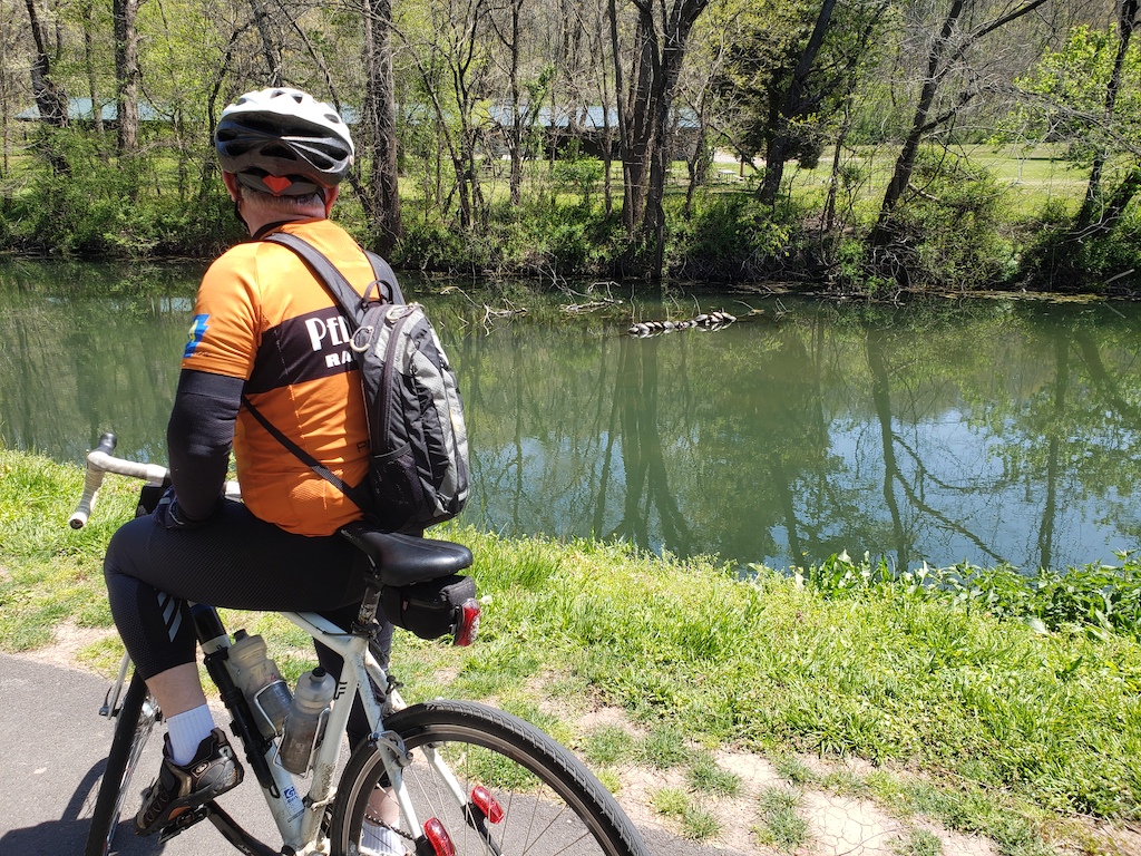
Returning North over the Schuylkill happens in Phoenixville at Lock 60. This is a facinating place -- somewhat of an rural island in the midst of suburbia. There is an amazing array of wildlife on this scenic location between the river and the canal.
 |
| Jeff stops to observe a turtles sunning themselves on a log. |
After an out-n-back to visit the lock, the course remains on the towpath all the way to the climb away from the river that begins at Hollow Rd. The towpath is crushed stone and is very interesting as it follows the old canal. The original route did not use the towpath. Originally, we went back on PA 29 in a zig-zag by Produce Junction. The traffic on 29 was so annoying, and the towpath so inviting that the route was changed to use the towpath instead of 29. Full disclosure: the towpath past 29 was not scouted on the pre-ride, but we believe it to be viable.
The info control on Hexenkopf Hill is at the red barn on the left that you will reach on the climb before the summit. There is an inscription on a round sign over the barn door.
A route change also was made in Hellertown to remain on the Saucon RT a little longer. This avoids a climb and simplifies the route. The only concern here is that riders recognize the exit from the trail at the parking lot on the left just past the Bingen Rd bridge. Some of you will reach this point after sunset, as we did. Look for the big trail-information board.
As the old YARRR route was often ridden in the heat of Summer, it was a nice change to be on these roads in the cool Spring air. Nevertheless, we stopped at Schoolhouse Sweets for ice cream. Although this isn't a control, nor is the Wawa in Souderton, most riders stop at one or both of these.
Route information and registration are on the event web page.
No comments:
Post a Comment