Sunday, March 31, 2019

Hawk's Nest 300K Ride Report


Preliminary results for the second ride in our ACP Super Randonneur series, the Hawk's Nest 300K brevet, have been posted on the PA Rando website.  Please review the results and let me know if something doesn't agree with your recollections.  The results will be submitted to RUSA for certification later on and become final at that time.

Temperatures were very comfortable, reaching into the mid 70's for the first time this year. Some headwinds added to the difficulty factor, but signs of Spring have begun to appear everywhere. In these moderate conditions, a brave bunch of randonneurs tackled an expanded 300K Hawk's Nest course, a route that included the infamous Milbrook Climb as well as many other difficult hills.  

Despite the challenging ride, 29 of the 31 starters finished under the time limit for a 94% completion rate. Congratulations and well done to all.

This was the first event run by PA Randonneurs out of the Holiday Inn Express in Easton. The event would not have been possible without volunteer help. Seasoned veterans ran things at the Start/Finish: Patrick Gaffney at the Start Controle, and Janice Chernekoff the Finish.  Susan Proulx, a new volunteer, helped with food and other operations. A big round of applause for these helpers! The high quality of PA Rando events is directly related to the high quality of our volunteers.

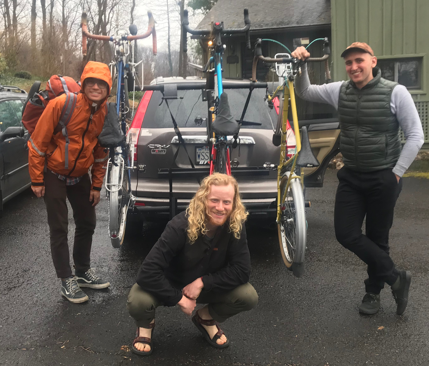
CJ, Nick and Ryan the morning after the cruel and inhuman 300k!

Iwan Barankay writes...  

Arguably the defining quality of randonneuring is that compared to any other cycling type (or sport in general) the ratio of time you spend cycling compared to thinking about cycling is the highest. That was on full display yesterday again. 300K is the real all days work type of event and this being my first time doing this distance it was a deep, memorable, and wonderful experience.  I went out too hard (again...) and paid for it but Sean and Chris were exemplary in pacing me for most of the day.  Deep gratitude to them for getting me through the brevet.  The scenery filled with thawing lakes and gushing streams and even riding side by side a marathon was testament to the great work you have put into routing this brevet.  A real treat to be at the hands of such experienced organizers. Thanks also goes to the volunteers at the final control for welcoming us back to reality.
-- Iwan                                                                                 
 

Bill Olsen writes...

Thanks, Chris for your great job in organizing another “value brevet.” All that climbing was great for those of us who might be ‘timid’ including this feature in our regular training, and I have to admit, I’m not as stiff as I was following the 300K where we previously incuded the Old Mine/Millbrook Grades in succession.                                                                                      
The highlight of my day was, after making that LHT onto Bushkill Falls Road and doing that 11.7 mile leg of that segment, and then making that TRT onto Highway 402 where we continued climbing, FINALLY about 5 miles in, seeing the sign that stated “Now leaving the Bushmill Creek Watershed.”  It was as grand of event as crossing the Continental Divide, and as expected, we were ‘treated’ with (essentially) a 31. mile descent all the way to Barryville, to begin the climb up El Dred                                                                                       
...and Andrew, THANKS(!!!) for the great course.  You’ve learned from the ‘master’ taking one of Tom’s most challenging courses and really making it a doozy!
                                                                                    
...but in saying this, all who attempted today’s brevet, including the DNF’s will admit, it will help to ensure their success on future events this season.

Eric Keller writes...

That was a really nice course.  The changes made it much better than  previous editions.  I was really surprised the road up past Bushkill and  408 had such nice pavement.  Climbing out of Millbrook Village sucked. I  enjoyed the alternate route back avoiding Columbia/River road. Except maybe    
for the potholes.

-------------------

Join us again in two short weeks for the continuation  of the SR series, the New Blue Redux 400K. This event starts and finishes at the Holiday Inn Express, next to Cask, and will include a food buffet at the start and finish. 

Sunday, March 24, 2019

Hawk's Nest 300K -- PreRide Course Notes (Updated!)

**** Update 1

Course updates based on the 24 March Pre-Ride scouting have been incorporated into the Cue Sheet and RWGPS route. Be sure you are using R1 of the route, available from the event info page. There have been some important changes.

Mile 73.8 -- It's now near certain the 402 Cafe will be closed.This has been converted to an information controle. There is no food for about 45 miles after the Winona Turkey Hill. Plan accordingly.

Mile 113 -- Soon after the Hawks Nest, the route through Port Jervis has been significantly altered. Long time PA Rando riders should turn off their auto-pilot and pay attention to the cues or GPS. The route leaves 42/97 onto Sleepy Hollow Rd before town and follows the edge of the river to the Matamoras bridge. After the controle, the route continues along the river using Railroad Ave, which becomes a gravel road, suitable for most tires.

NOTE: The route contains several miles of rail trail. Since this is encountered early in the ride, riders still will be concentrated in one tight group. Be aware that the trail can be narrow at times, especially at road crossings through chicanes and bollards. Please spread out and ride single file through the tight spots.

**** Original Post

On Wednesday, 20 March, I (Chris N) conducted a pre-ride of the Hawk's Nest 300K course. As a result of information gathered on this ride, there are some course changes that are being tested on a second pre-ride 24 March by the Patrick and Cecilie G. Expect a revised cue sheet and RWGPS to be published soon. Watch this space for updates.

PreRide Course notes:

Who knew there was so much new-growth PA State Forest land? Although I saw some immanent budding down near Easton, there was no bud swell visible in the Poconos -- the trees up there don't yet know it's Spring.  I saw a lot of snow still in the glens, ice on the cliffs, and some lakes still part frozen over. Maybe by event date this will be gone.

Mile 8 -- Returning to the rail trail, it may be difficult to spot the entrance. As the cue says, it's just past the electrical substation, which is lit up. The paved parking lot at the trail entrance is not lit. There are several trail like paths here.  The real trail is the middle one: a paved path that doesn't have a private drive or do not enter sign.

Mile 27.1 -- National Park Drive. This is a gravel road. There is some steep, windy descending on it. Please control your speed. If you aren't familiar with descending gravel roads, the way I do it is primarily with rear brake only applied against gentle pedaling (gotta keep the wheels spinning, especially the front one). Only about half the descent is gravel. The second half is paved, so you and your guardian angel might consider going a little faster on the solid ground. Or not. Be aware the descent ends in a T-stop with PA611.  

Mile 44.7 -- The Winona Falls Turkey Hill Controle is almost the last store you'll see for the next 50 miles. There are a few general stores open near Bushkill Falls, but then nothing, I mean nothing for the next 50 miles other than (maybe) the 402 Cafe. 

Mile 73.8 -- It's unclear if the 402 Cafe will be open. I hope you stocked up at  the Winona Falls Turkey Hill.

Mile 116.4 -- The routing through Port Jervis / Matamoras is being revised. The new cues will be published after the second pre-ride verifies the new route. 

Mile 147.1 -- This is the beginning of the big climb up Millbrook Rd, immediately following the big climb up Old Mine Rd.  If you've not climbed Millbrook from this side, it's worse than you've heard. If you have climbed it, it's worse than you remember. Fortunately it's smoothly paved and followed by almost 6 miles of descent.

Mile 155.7 -- Heller Hill Rd. You thought the climbing was done when you summited Millbrook?

Mile 165.9 -- This right turn TRO Upper Sarepta Rd needs, like, a million warning asterisks. It come out of nowhere on a rare bit of downhill. It's abrupt, turns sharply uphill, is covered with gravel, and if you're slow like me, you'll encounter it in the dark. The way you know this turn is coming is the 15MPH warning sign with the squiggly arrow about a quarter mile before.

Mile 184.3 -- Riding Northampton St through the center of Easton isn't that bad, not considering the two moderate hills it crosses. If there's any traffic, it will be calmed by the plethora of traffic lights. The one thing to remember is to stay away from the parked cars. The street is pretty wide. If you hold your line, you should be able to keep away from those scary car doors without causing any traffic too much concern.  


Sunday, March 17, 2019

Ride Report: Pagoda 200K

Preliminary results for the first ride in our ACP Super Randonneur series, the Pagoda 200K brevet, have been posted on the PA Rando website.  Please review the results and let me know if something doesn't agree with your recollections.  The results will be submitted to RUSA for certification later on and become final at that time.

The largest group of 200K brevet riders in PA Randonneuring history rode on a blustery late winter day to complete a hilly course with six major climbs. The national weather service says that West winds reached 38 MPH with gusts to 48.  Riders reported their GPS units measured roughly 10,000 feet of climbing for the course.

Despite the challenging ride, 40 of the 41 starters finished under the time limit. Unfortunately, the wind reached out and absconded with Gerry M's brevet card, so there were 39 official finishers, a 95% completion rate. Congratulations and well done to all, especially our first time riders and guests. Welcome to PA Randonneuring!

NOTE: Somehow at the finish I ended up with a lost pair of gloves and two lost helmets. Does anyone know who they belong to? -- Chris N

First Finisher Iwan writes...

Just wanted to thank you for organizing yesterday's brevet.  I had some technical problems at the start with affixing my device and then my rear wheel rubbed delaying me by some minutes (You to me: "Don't you want to ride with the group?") so I had to catch up with the group. Then for the rest of  the day I kept chasing what I thought was another fast group slipstreaming  in front of me which lead me to solo the entire ride.  Your additional notes on the route were spot on and very helpful (especially about the fallen tree on Skyline). Nice surprise to see you at Pagoda for a chat! I think the best part was miles 90-100 through some stunning, memorable scenery.  The final hills were a little nasty and my lowest gear (39-29) wasn't low enough for spinning so I ended up riding serpentines up those hills.  I had no other problems and I was glad I chose to ride tubeless given the abundance of gravel on the road.     

-------------------

Join us again in two short weeks for the continuation  of the SR series, the Hawks Nest 300K. This event starts and finishes at the Holiday Inn Express, next to Cask, and will include a food buffet at the start and finish.

Tuesday, March 12, 2019

Pagoda 200K Pre Ride Course Notes

*** UPDATE 1 ***

On 14 March, another pre-ride was conducted by yours truly, Chris N, checking out  some of the tweeks proposed by Monday's pre riders and verifying the cue sheet.

As did the pre-riders, I found this scenic course to be challenging.
Here are some detailed course notes.

mile 12.8 -- The sign says Sedersville 1 (trivial cue typo -- not a big issue).

mile 26 -- Bad storm drain at corner

mile 54.7 -- There is a "well intentioned" bike lane on Skyline Drive. Unfortunately, this lane is covered with debris in many spots, especially at the beginning and at the end. It reminded me of the crap found on the Fox Gap shoulder. There are also annoying rumble strips separating the path from the road. The most hazardous section seemed to be the descent just past the fire tower. There is a large fallen tree in the bike lane that might be hard to spot in time. Climbing on the clear sections of bike path should be fine, but be wary of the Skyline bike path on the descent.

mile 57.4, 58.5 -- there are three switchback triangles on the Duryea Drive descent. You make turns at the first triangle near the top and the third triangle (1.1 miles later), and there are cues for these turns. You don't turn at the second switchback triangle (just past the first) and there is no cue to indicate this lack of turning. I found that situation a little confusing as these first two turns come quick, so I slowed down. Should you mistakenly turn at the second triangle you'll be sorry as you could end up 500 feet down the mountain in a jiffy and you won't be anywhere near the course. Pro tip: take your time going down those switchbacks and put a priority on navigating correctly.

mile 58.6 -- Clymer Rd is after the switchbacks. Clymer is a pretty steep descent too. Unlike the Duryea switchbacks, which are wide and clear, Clymer has lots of parked cars. Take the lane, be alert, and control your speed.

mile 59.1 -- Perkiomen Ave is a key part of the route change that avoids the Schuylkill River Trail. Ironically, the road surface on Perkiomen/bus422 is pretty bad. Not quite Old Mine Rd bad, but pretty bad. The irony is that we switched the course to this "paved" road to avoid some issues on the unpaved SRT. So, when you are bumping along, climbing up Perkiomen Ave, console yourself with the thought that at least there's pavement to bump along on.

mile 61.6 -- I totally missed Hearthstone Dr. Try not to do this, but should you make the same mistake I did, at the bottom of the steep hill that you really don't want to climb back up, you'll see a "Closed" tunnel under the RR tracks on your left. Go through that short tunnel if possible (it was easy when I did it) and you'll find yourself back on course at mile 63.1

mile 77.9 -- I had no trouble crossing the dam. Can't say the same about climbing Hemlock.

mile 84.0 -- The street sign for Lane Rd is blocked by a tree. As you are probably descending fast on Weisstown, it's pretty easy to miss this turn.

mile 87.2 -- In truth, Hemlock isn't all that bad in itself, but it's one of many climbs that are all bunched up between Danial Boone and Longacres.  When you make it to Longacres, I assure you, you will deserve that  ice cream.

mile 110.1 -- I hit PA412 at weekday rush hour. It was very, very busy. My hope is that on Saturday traffic won't be nearly as bad.  If I'm wrong, I recommend you use your best city traffic bike skilz to make sure the cars see you and take you into consideration.  That's what I did. It's only a 1.2 mile segment. I didn't piss off too many of them.

mile 122.0 -- The endgame cues from the 25th St bridge onward are all designed to avoid climbing up 25th street, which is always busy. Still, there's a 600 ft section of 25th street that you must climb to make a Left onto the bike trail. The way I do it is to wait patiently at the stop sign at the end of Front St till there's a big gap in uphill traffic. A BIG gap -- as in no cars coming at all. If you do that, you'll have no trouble safely climbing and getting set up for the left turn. 

There is considerable gravel and grit on many turns.

-- Chris Nadovich

*** Original Post ***

On Monday, 11 March, a pre-ride of the Pagoda 200K course was conducted by volunteers Janice Chernekoff, Cecilie Gaffney, and Patrick Gaffney. As a result of their observations, there has been a significant route change for the Pagoda 200K.

Because of lingering deep snow and the possibility of flooding, all the rail trail segments in the Pagoda 200K have been bypassed with paved routing. Specifically, the Schuylkill River Trail segment out of Reading, and the Saucon Rail Trail segment out of Coopersburg have been bypassed.

Cue sheets and RWGPS routes have been updated. Be sure you use the R3 route. See the event page for all the latest details.

Pre-riders report conditions on the route are fine otherwise. Be alert for grit and gravel on many turns, remains of winter maintenance. Most of the roads are low traffic, but there are a few crossings of busy streets without the assistance of a traffic light. Take your time and pick a safe moment to cross -- walk your bike if necessary.

Although construction equipment was present on the Trout Run Reservoir spillway (mi 78), no construction activity was seen. If at all safe to do so, cross the reservoir here and climb Hemlock Rd. Hemlock is steep, but the detour is longer and just as steep.