 |
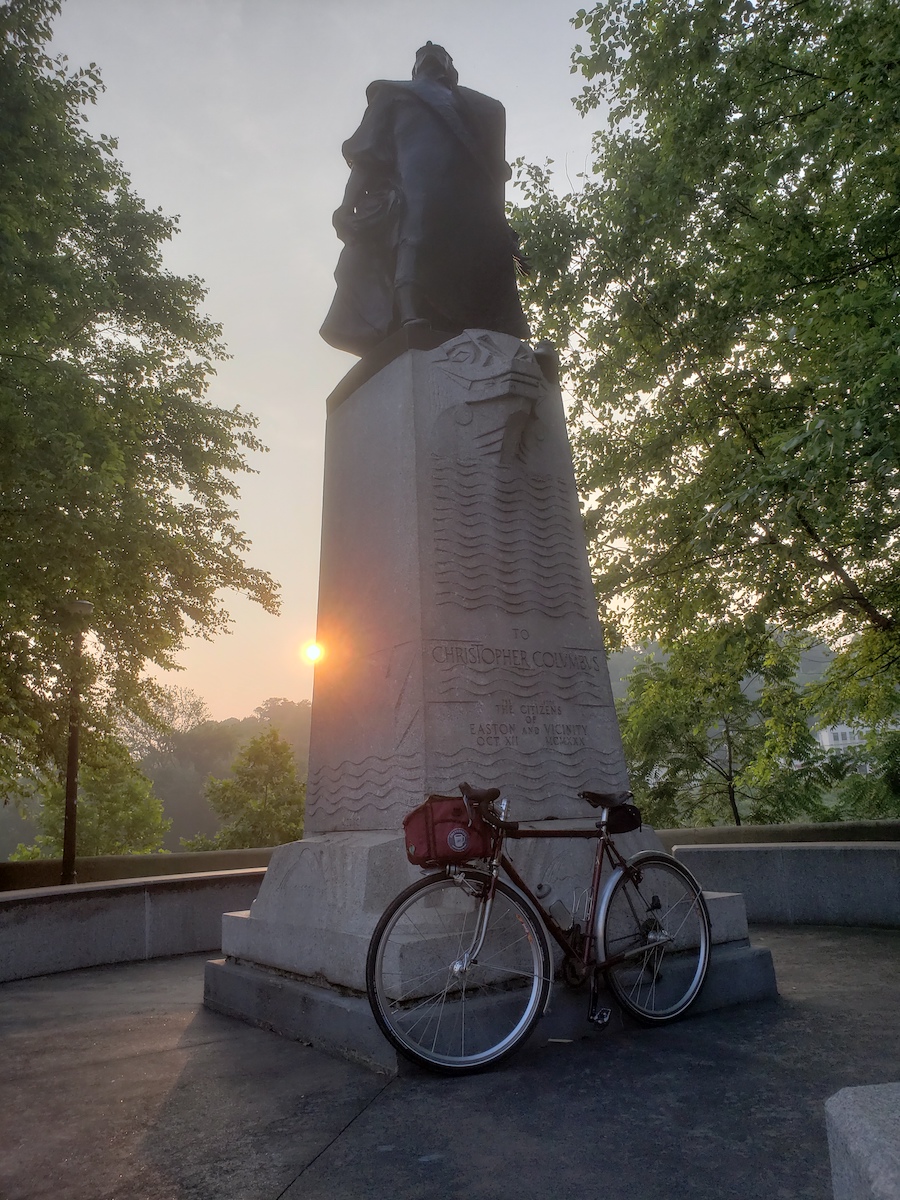
| Columbus statue at the start control |
A partial pre-ride of the Free Bridge 200K North Loop, was conducted on 29 June Chris Nadovich.
*** Then a final survey (by car) of the South loop on 30 June. Notes all included below.
Unhealthy air quality and the first taste of real Summer heat combined to make it a decidedly unpleasant day for a pre-ride. I only made it fully around the North Loop by bike. After lunch at Jimmy's I rode onto the South, but I couldn't muster the courage for Shire Rd, and completed the South loop using the towpath. (Then I returned on Friday to finish the course review by car.) As a result of these rides/drives, several important corrections were made to the cues. If you previously downloaded the course, you must update your route data. The latest cue sheet is Version 4, and the latest RWGPS route was modified 2023-06-30 15:10:06 EDT. Both are available online. Full information and online registration link on the event web site.
The bridge may be free, but parking near it isn't.
A formerly free, but now pay parking area ($10/day) is the large public lot behind Jimmys Doggie Stand on the NJ side of the bridge. Don't park next to Jimmy's itself, or adjacent to the bridge. Go all the way back behind Jimmy's to the big lot by the boat ramp. Remember your spot number and pay at the machine. There is a Port-A-Potty here that is reasonably maintained at most times.
And you can find free parking in NJ about a mile upstream along the river on the NJ side. You can also park for free at Pohatcong Plaza, as we do for Hope to New Hope. This is about 4 miles away.
If you prefer to park in PA by the bridge, these are all pay-to-park spots that require using the ParkMobile parking app.
Perhaps the simplest parking option in PA is to use one of the municipal parking garages. There are two: the South Third Street garage, which also requires the ParkMobile app, and the Fourth Street Garage you can pay at a kiosk by the elevator or at the exit gate for long-term (hourly) parking on the upper floors.
If you are willing to ride futher from your parking spot, most of Easton is unmetered 6th street and beyond. If you're looking for a real place to have dinner after the ride, and perhaps a pint to go with it, I highly recommend Porters Pub at 7th street and Northampton. Parking near there is free.
Because National Park Drive is closed, the original Northern loop was re-routed over Fox Gap, climbing the mountain from the South -- something I'm not sure we've ever done. If not, I'm not sure why. [Ed: Randi Nerde says we definitely have]. I found the climb to be significantly more pleasant than climbing it from the North. Fox Gap Rd is a very quiet country road with good pavement and interesting scenery. It takes you almost to the top, where it tees into 191 for a last little grunt to the summit and across the AT.
Bill Olsen writes...
[A northbound climb of Fox Gap] has been done on several PA 200 rides (way before all you young whippersnappers took up Randonneuring) and the consensus was that it was a kinder and gentler climb from this direction.
The decent of 191 on the North side of the mountain is a screamer. Long and steep and twisty. Please be careful with this. I was maintaining 40 mph easily as I feathered the rear brake approaching each curve. Without brakes I'm sure it would've been 50 MPH, maybe 60 MPH! Pavement is good and visibility around the curves isn't terrible, but please don't ride faster than your guardian angel, OK?
After tagging the control at Delaware Water Gap, you will ride South on 611 through the Gap itself. This stretch of road is still closed. I expect the locals find this closure annoying, but it's a wonderful blessing for cyclists. You need to get your bike over two sets of jersey barriers, and beware of the debris on the road, but otherwise it's a glorious ride.
Definitely look out for debris on 611, which is extremely sticky -- sticky, as in covered with sticks. I saw two fallen trees, both easy to get around, but given more storms are predicted for the upcoming week, 611 will be stickier yet, I expect. The debris doesn't let up till you approach Portland.
Below Portland the course uses the Pine Tree Rd short cut, which leads to Shady Lane. The upper part of Shady is a gravel descent. I found the surface to be in excellent shape. You won't go down it as fast as from Fox Gap, but faster than we could go on National Park Drive.
After returning to River Rd, the route follows our standard Foul Rift routing followed by the climb to Harmony. Turn off autopilot when you reach the Harmony summit, as you'll be turning right for the big descent into Phillipsburg for the midpoint control. The pavement on Marble Hill Rd is less than perfect, so this is a descent you'll need to take caution with. It's steepest at the bottom where the road ends with a stop sign at a T intersection. Brake early.
After lunch at the Jimmy's control, the route threads through the city of Phillipsburg before it climbs over into Warren Glen and the climb up Ciphers/Shire, which is a decidedly steep and unrelenting climb. The descents that follow this into Milford are steep and twisty and end at a T stop, so be careful.
After Milford, you cross back into PA for a rolling tour of classic Bucks County cycling roads, all of which appear to be in good shape.
As the course heads back North through Durham Forge, a bridge out on Stouts Valley Rd forced a re-route onto the steeper but more direct Durham Rd. Sorry. This is the final series of climbs, getting you over South Mountain, with the final summit reached at the end of Cider Press. Be careful on the descent that begins on Gaffney Rd and ends on Berger, which can be a bit trafficy.
After crossing the bridge over the Lehigh, and our usual short cut through the Children's Home, it's back to the finish at Jimmy's (or the Sand Bar).
 |
| Haze masks the cooling towers of the Martin's Creek plant. |
For this brevet, riders have the option of using Electronic Proof of Passage (EPP) with the eBrevet mobile app. For more information about this option, read the blog post here.
No comments:
Post a Comment